Geology

The Eastern Palouse Uplands

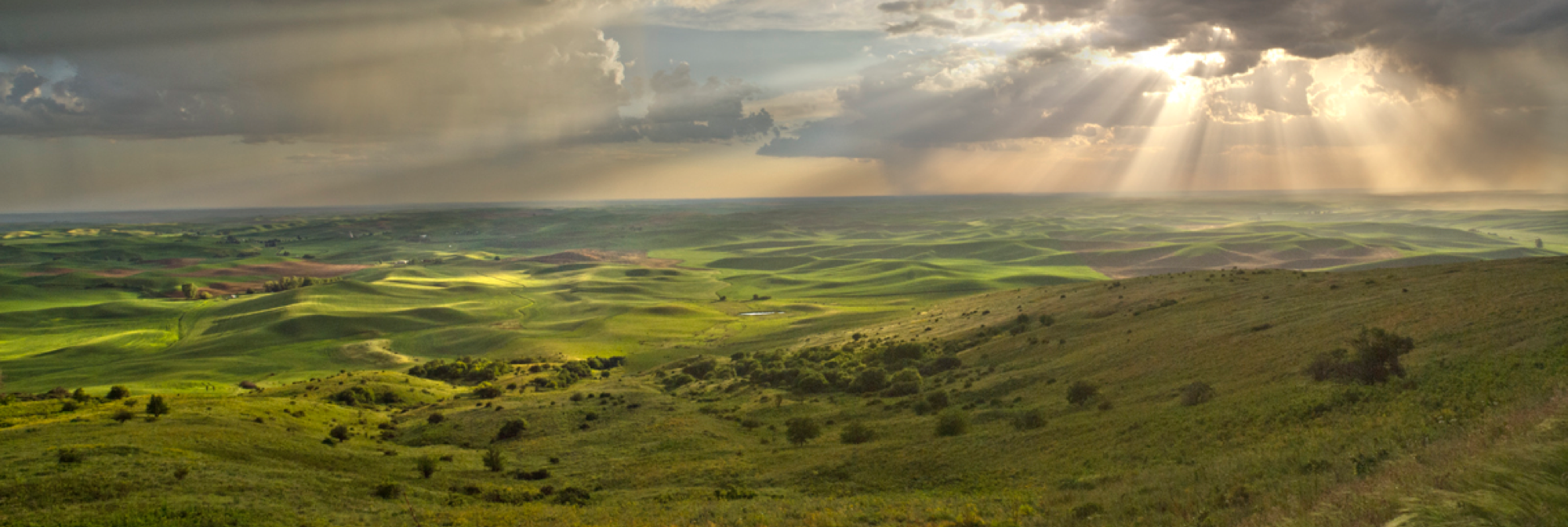
"Morning Mist" curtesy of John Clement (photo taken at the eastern Palouse uplands)

"Morning Mist" curtesy of John Clement (photo taken at the eastern Palouse uplands)

The Palouse River headwaters are born in the clear stony brooks of Idaho's Hoodoo and Clearwater mountains and fed by tributaries emerging from the Thatuna Range located between the river's north and south forks. These eastern uplands are composed of the western buttes' parent belt quartzites and argillites that rose with the Rocky Mountains when the Cascade Range had not yet emerged above the Pacific waters. In the formative processes of this early Mesozoic Age of explosive Rocky Mountain strato-volcanoes, hot magmatic fluids under great pressure penetrated this younger earth's crust and brought certain metals in gaseous state nearer the surface to form soluble compounds like gold chloride and aluminum-iron silicate. In places where water penetrated to great depth these compounds dissolved, mixed with the magma, and were forced through fissures with other solubles like silicon dioxide, or quartz, to create veins containing precious metals and alamandine garnet crystals.

Where this petrographic drama transpired under ancient weathered surfaces as in the Hoodoos, these deposits were worn by water until soft yellow flakes, larger nuggets, and violet-red gemstones fell out into streams which usually held these heavy particles near their sources. As in other high places along the Pacific Slope, indications of this placer gold in North Idaho resulted in nineteenth century regional rushes as prospectors flocked to the rumored El Dorados. Dodecahedron-faced garnets and rainbow-colored "harlequin" opals have also been sought in the eastern Palouse as the region's only semi-precious stones. 

Land and First Peoples

Looming above the panoramic Palouse near the heart of the region stands a promontory revered by the native peoples known today as Steptoe Butte. To the Palouse Indians it was Yamustas (“Elk’s Abode”), a sacred high place of spirit quests and the abode of mythical Bull Elk. An honored figure in tribal folklore, this creature was said to have found sanctuary during the time of the Animal People in the cleft of the butte's eastern face. Its majestic antlers stretched toward the summit and remain visible today. To the area's first European-American explorers, who dubbed it "Pyramid Peak" for resembling Egypt's great monument to Cheops, the butte served like a mariner's landmark, a strange island in an oceanic maelstrom of earthen waves cresting with wind-pulsed native wheatgrasses and fescues.

Before the sextant and plow demarcated and denuded these fertile swells, they were seasonally transformed from soft springtime viridian hues with wildflowered splashes of bluebells, flaming Indian paintbrush, and bright yellow arrowleaf balsamroot into summer and fall's muted green-brown pastels mixed in the bunchgrass billows. The butte continues to serve as a landmark Palouse portal to Native Americans today. On several occasions while in the company of Nez Perces returning to Lapwai from the Colville Reservation or with Coeur d' Alenes headed east from Warm Springs, I have heard elders say, "When I see Steptoe Butte, I know that I am home."

Elk's Abode - Steptoe Butte (John Clement)

Elk's Abode - Steptoe Butte (John Clement)

The Palouse region covers that part of Eastern Washington and Northern Idaho in the Palouse River basin as well as adjacent lands characterized by a rolling terrain of fertile loess soils. This area covers approximately 4,000 square miles and lies largely in Washington's Whitman and Spokane counties, the eastern third of Adams County, and in Idaho's Latah County. Nearly seventy percent of the land is arable, composed of deep deposits of rich but fragile topsoil which cover immense layers of brown-black basalt. This bedrock shield is up to 10,000 feet thick resulting from successive lava flows through fissures across the Columbia Plateau during the late Miocene Epoch between six and seventeen million years ago when the area of today's Palouse Country, before the Cascade uplift, received as much as fifty inches of annual rainfall to host a mixed forest of conifers, maples, water tupelo, and oak similar to America's southeastern bald cypress swamps of today.

The Palouse is bounded by the Snake and Clearwater rivers on the south and Idaho's imposing Bitterroot and Clearwater Mountains to the east. The evergreen forests of these eastern uplands extend across the northern half of Spokane County along a line roughly corresponding to the deepest penetration of the great Pleistocene glaciers to form the region's northern limit. The Cheney-Palouse lobe of the Channeled Scablands comprises the region's western boundary which extends from the timber line near Tyler, Washington south to the mouth of the Palouse River. Annual rainfall increases from an average of fourteen inches in the western Palouse prairies to eighteen inches in the central Palouse Hills and up to twenty-two inches in the foothills of the eastern mountains.

This pattern corresponds to a rise in elevation from 1,200 feet in the southwest corner of the Palouse prairie to the fringe of the Clearwater Palouse Range at 2,800 feet, almost exactly one inch of precipitation for every hundred feet of elevation. Variations in soil fertility developed over ages due to increasing rainfall eastward led to climax vegetation associated with the Palouse's three climatic life zones: Upper Sonoran in the western Palouse, Arid Transition across the central Palouse Hills, and Canadian in the eastern mountain uplands.